Vintage Map of Northwestern University, 1940
Vintage Map of Northwestern University, 1940
Couldn't load pickup availability
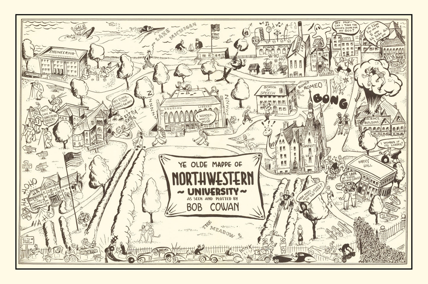
Lakefront Evanston in 1940 — Northwestern's campus on Lake Michigan captured from above in the last year before America entered the war.
Northwestern was founded in 1851, and the Evanston campus has always been defined by the single feature this 1940 map captures best: the Lake Michigan shoreline running along the entire east edge, giving the university a waterfront that no other major private research institution can claim. Deering Library, the Lakefill's predecessor coastline, University Hall, the original Garrett Biblical Institute buildings — all visible. The Medill School of Journalism was already thirty years old; the School of Law, seventy.
Of all the bird's-eye maps in the set, this is arguably the most visually striking because of the water. A Northwestern map on the wall is a rare instance where the geography does half the work.
DETAILS
- Source map: 1940, Evanston, Illinois
- Cartography: Bird's-eye aerial perspective
- Print sizes: 12×18, 18×24, 24×36, 32×48, 40×60 (varies by option)
- Finishes: unframed print, black frame, walnut frame, natural frame, canvas
ABOUT TED'S VINTAGE ART
Ted's digitally restores historic maps and prints each piece to order. Framed versions use solid wood with UV-protective glass; canvas prints are stretched over solid wooden bars. Because each print is made when you order it, allow a few extra days for production.
Share